Description of the Path of the Heart of Scanno
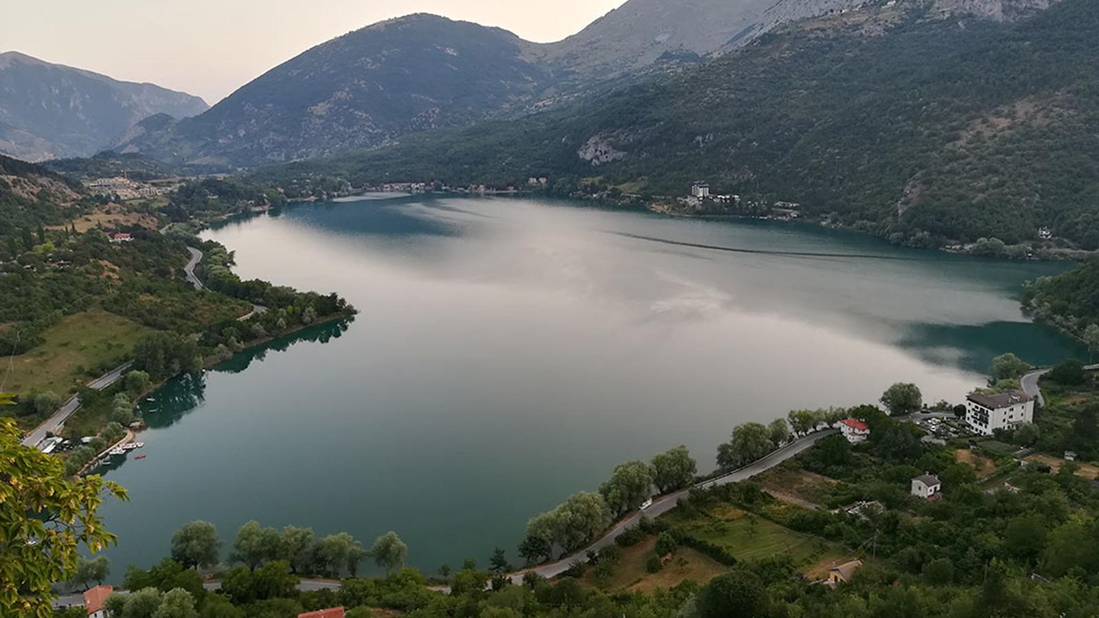
The inland area of Abruzzo, particularly the Scanno region, is covered by a dense network of trails that wind through points of interest, sometimes of remarkable beauty. A relatively unknown path allows for a unique view of Scanno Lake. Seen from any other angle, the lake appears in a normal shape, an imperfect "circle," but certainly striking. The specific viewpoint transforms the lake into a heart shape. Yes, only from this observation point does the lake take on this form.
But how do you get there? Which path should you take?
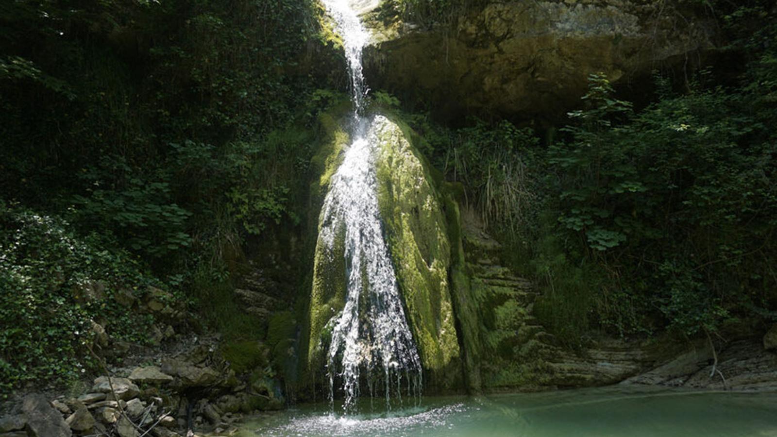
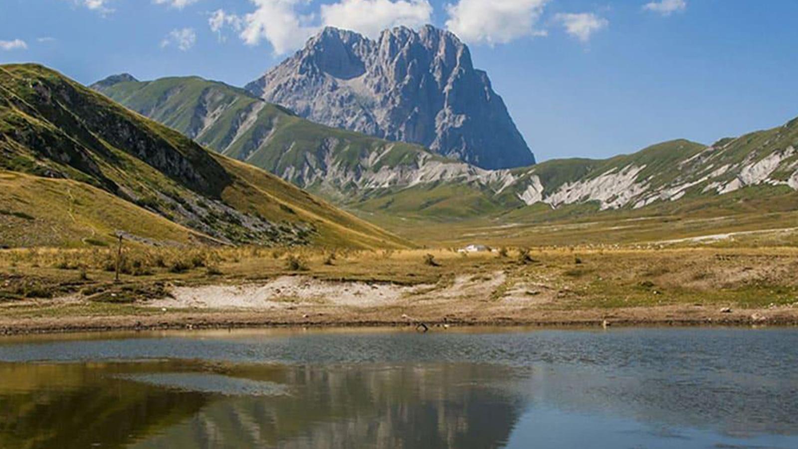
The cartography throughout Scanno is not very clear, and on the day I was there (Sunday), the tourist information center was closed. I improvised and managed to understand the trail to take. Through this article, I will describe step by step, including images, the route to take for the Path of the Heart of Scanno.
How to Get to the Path of the Heart of Scanno
To reach Scanno, you need to take the A24 (Rome-Pescara) and exit at the "Cocullo" exit. From there, follow the signs for Scanno. Set your navigation to "Via della Pineta" (Photo 1). Upon arrival, the road splits into four other roads. On your left, you will find a fountain and an informative sign about Sant'Egidio. Park nearby where you find parking.
- With the fountain behind you, enter the road uphill to the right, where you see an iron handrail and a small sign marking the start of the "Path of the Heart."
- Continue walking straight for 6/7 minutes (Photos 2-3). You will encounter a first fork on the left, but keep going straight until you see a house under construction (Photo 4) in front of you, and the hermitage of Sant'Egidio up to the right.
- Following the right side of the house, you will see the uphill trail marking the beginning of the path (Photo 4.1).
- Take the narrow path and continue straight. After about 7 minutes, you will come to a fork with four roads and informative signs (Photo 5) pointing the way. On the right side, you'll see a fountain (Photo 5.2). By continuing to the right, you will reach the hermitage of Sant'Egidio (Photo 5.1).
- Follow the signs for the "Path of the Heart" (Photo 6). After about 5 minutes, the road splits again. One road goes uphill, and another continues straight, entering the forest. Keep taking the path ahead of you and continue straight (Photo 7).
- Walk for about 20 minutes (Photos 8.1 - 8.2 - 8.3). Upon reaching a fork on the right, you will find a sign (the only one with a map of the trails). Turn around 180° and you'll see the panoramic viewpoint (Photo 9).
CAUTION
Watch out for the sheer drop! There are no protections or railings! Don't lean out too much if you suffer from vertigo.